 |
 |
 |
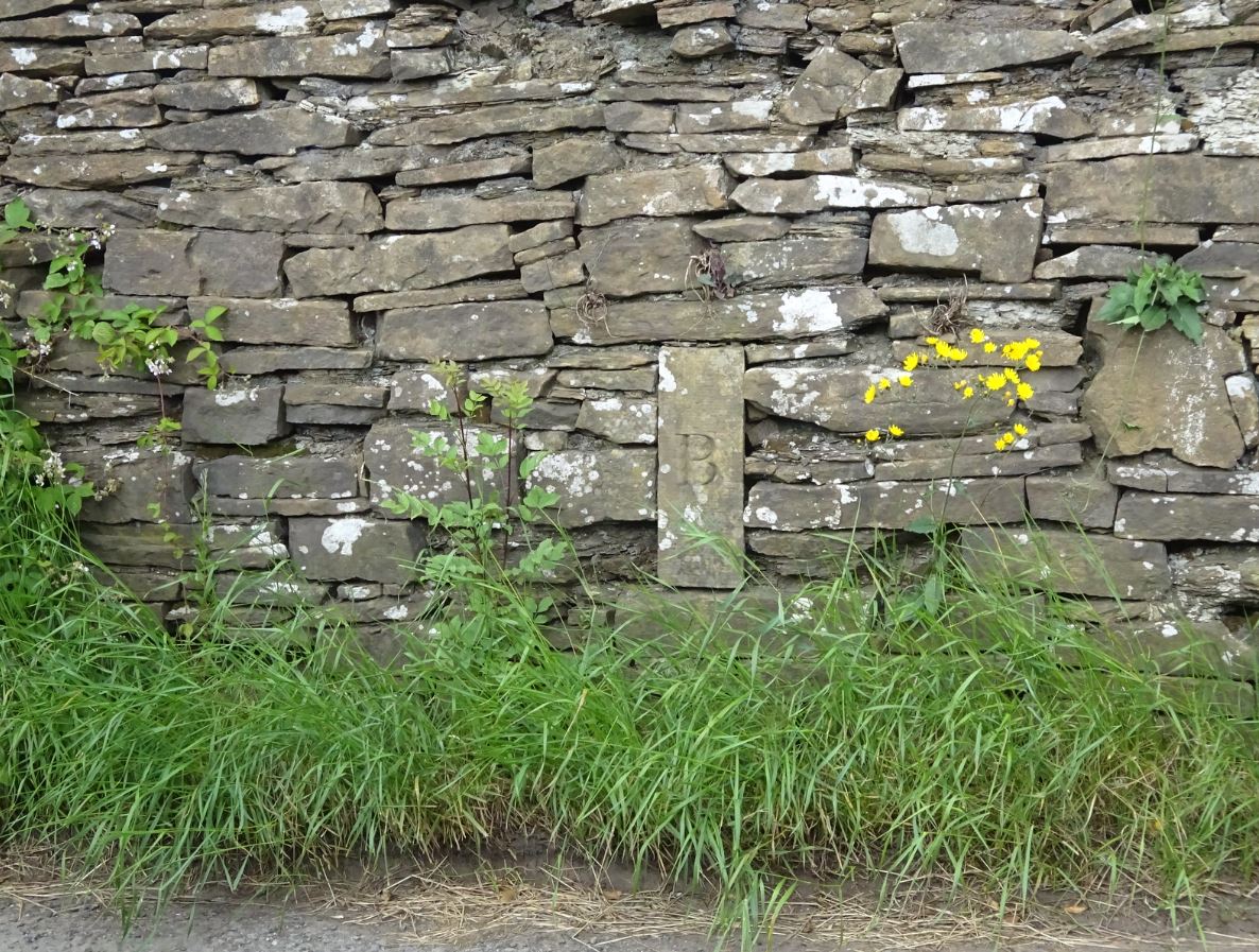
There are several old boundary stones (or boundary markers![]() ) around Bollington, marking the original boundaries of Bollington with Rainow, Kerridge, Shrigley and Prestbury. It is believed that Bollington’s boundary hasn’t changed since at least the 13thC. The example pictured above is a boundary stone, on which the letters ‘K’, ‘B’ and ‘R’ are inscribed on three faces, indicating that it is positioned at the junction of the boundaries of Kerridge, Bollington and Rainow.
) around Bollington, marking the original boundaries of Bollington with Rainow, Kerridge, Shrigley and Prestbury. It is believed that Bollington’s boundary hasn’t changed since at least the 13thC. The example pictured above is a boundary stone, on which the letters ‘K’, ‘B’ and ‘R’ are inscribed on three faces, indicating that it is positioned at the junction of the boundaries of Kerridge, Bollington and Rainow.
Boundary stones are marked as ‘B.S.’ on old maps such as those from the National Library of Scotland![]() . Most have now been lost sadly. Of those that still exist in and around Bollington, most are Grade II listed, including:
. Most have now been lost sadly. Of those that still exist in and around Bollington, most are Grade II listed, including:
 |
Parish boundary stone Photo Tim Matthews. |
 |
Parish boundary stone Photo Tim Matthews. |
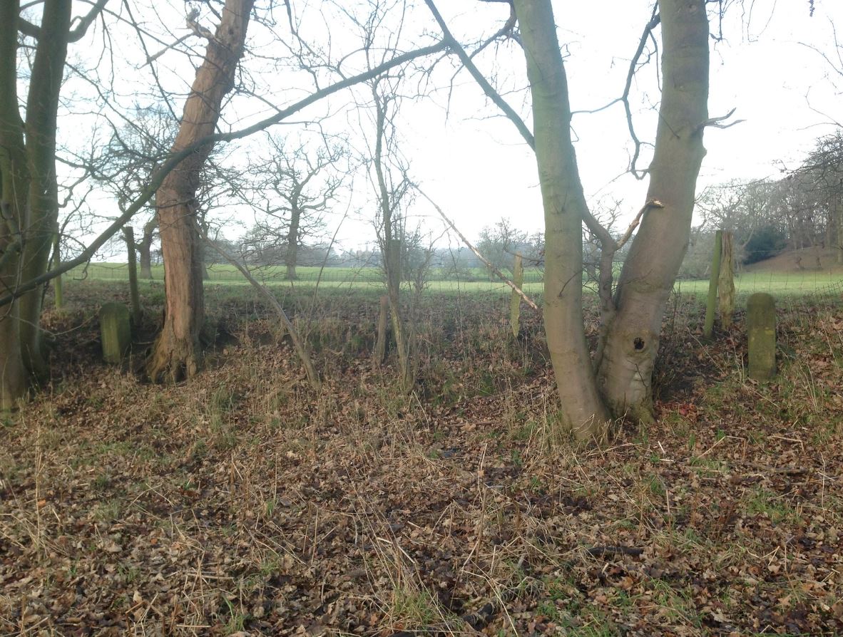 |
This picture shows both Lowerhouse mill Parish boundary stones showing how close together they are. Photo Tim Matthews. |
|
Parish boundary stone |
 |
Boundary stone, Ingersley Road |
| Parish boundary stone |
|
 |
Parish boundary stone, Shrigley Road |
| Parish boundary stone |
|
| Parish boundary stone |
|
 |
Parish boundary stone |
 |
Estate boundary stone Photo by Tim Matthews. |
 |
Parish boundary stone Photo Tim Matthews. |
 |
Located at Sunny View at the corner of the cottage gardens in the Recreation Ground. Photo Tim Matthews. |
 |
Boundary stone at no. 1 Moss Brow. Photo Tim Matthews. |
 |
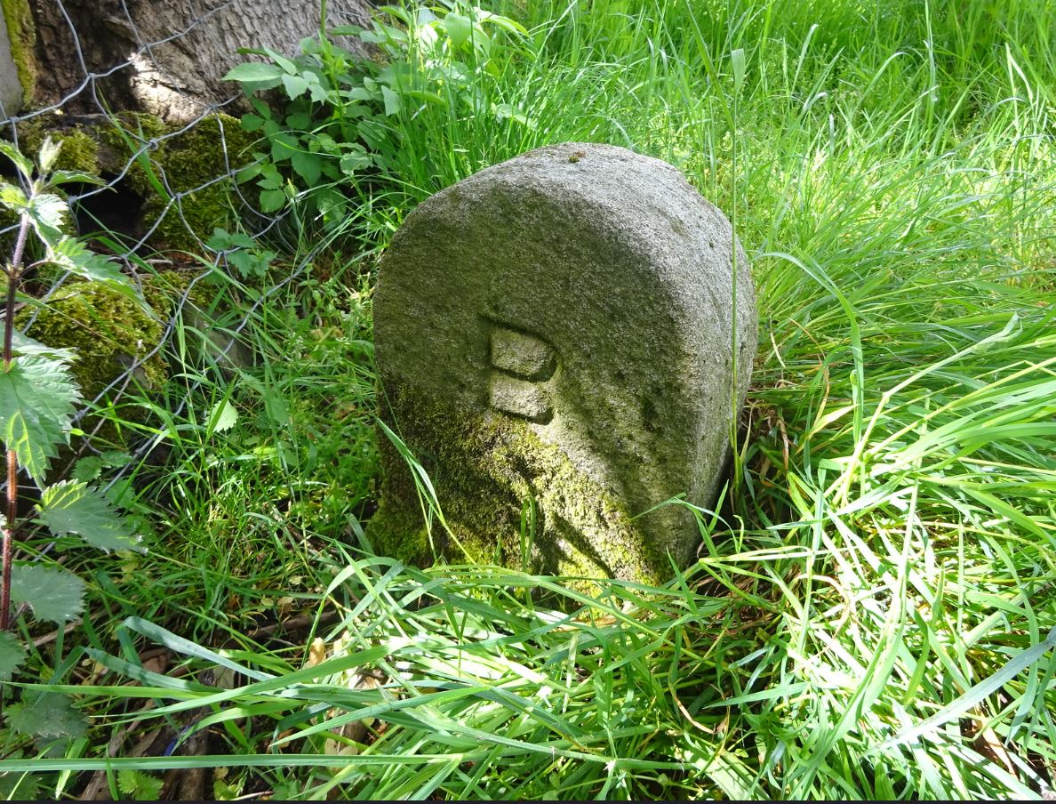
Boundary stone located off Well Field, Henshall Road. Photo Tim Matthews. |
 |
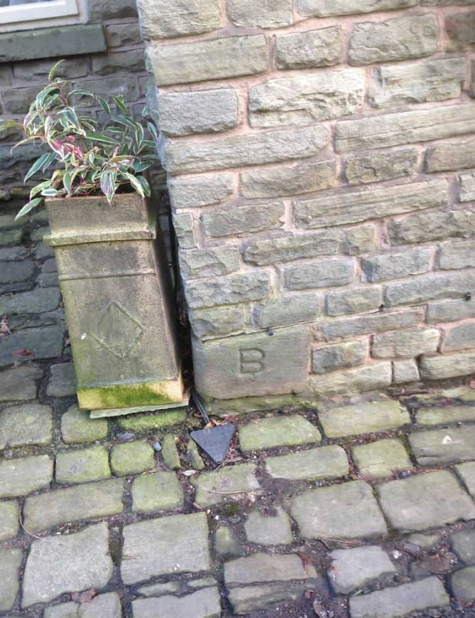
Stone at the top of High Street marks boundary between Bollington and Kerridge. Photo Tim Matthews. |
 |
Stone in Adlington Road / Sugar Lane marks the Bollington boundary with Adlington. Photo Tim Matthews. |
 |
Clarence Pond boundary stone. Photo Tim Matthews.
|
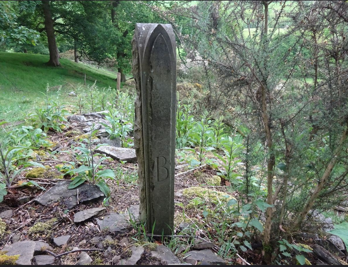 |
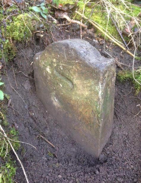
Boundary stone situated in Nab Woods. Photo Tim Matthews. |
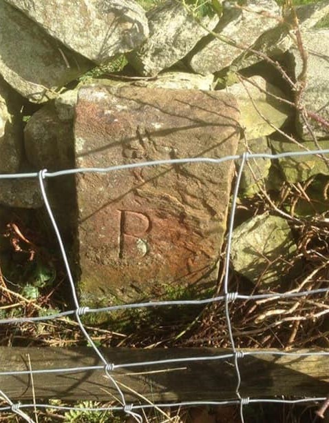 |
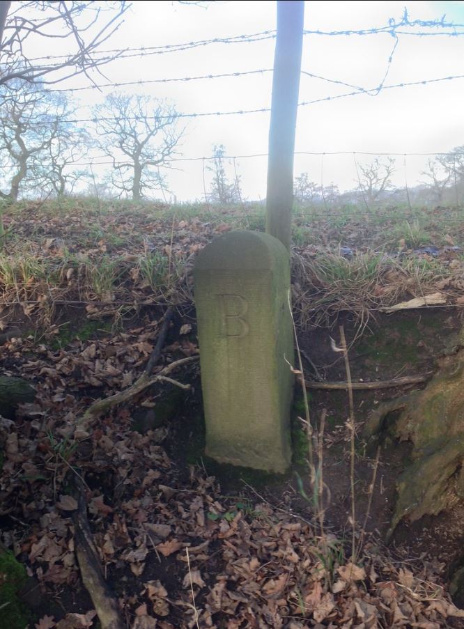
Boundary stone on the west side of the wall between Walkers Bottoms and Heathcoat’s slaughterhouse field off Shrigley Road. Good condition with a B visible, and presumably an S is on the wall-facing side. Photo Tim Matthews. |
 |
This boundary stone is located north of Waterhouse Farm, Garden Street. Photo by David Atkinson. |
 |
The map to the left shows where all the Bollington Parish boundary stones are. Click map for larger version. |
Most links in the listed items are to the Images of England web site provided by Historic England (HE). Clicking on pictures will provide a larger version.