 |
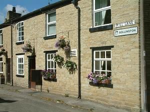
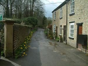
Right on the boundary of Bollington with Rainow, Mill Lane is one of the oldest roads in the district. It begins at the east end of Ingersley Road, on the corner of the Poacher’s Inn, and winds its way past an old farm, Hillside Farm, a field and then a few modern bungalows. The road then becomes a track suitable only for horses and pedestrians (can be muddy) and comes out on Ingersley Vale. Approach off Ingersley Road, Ingersley Vale (pedestrians, bikes and horses only). Leads to footpath access to Lowther Street. Nearest shops – Palmerston Street. Nearest pubs – Poacher’s Inn on the corner of Ingersley Road. Council Ward – East. |
 |
It is believed that Mill Lane was part of a Roman (or earlier) pack horse route leading from the Cheshire salt fields into the Peak District. The drive entrance to Ingersley Hall (now known as Savio House) is off Mill Lane (off the left of this picture), right beside the Poacher’s Inn. The mill referred to is probably the original 15thC corn mill that is believed to have stood on the riverside where the green painted workshop is today in Ingersley Vale. There is a weir and wheel pit in the river behind this shed. |
 |
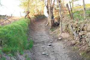
The wilder end of Mill Lane is no more than a bridleway. It can be wet in places down here. January 2021: fencing for the development at Ingersley Crescent had encroached on Mill Lane. When protests were raised it transpired that this part of Mill Lane (left) was not recorded by the borough council as any type of public way. Steps were urgently taken to obtain recognition as a public way and this was established in law in spring 2024. |